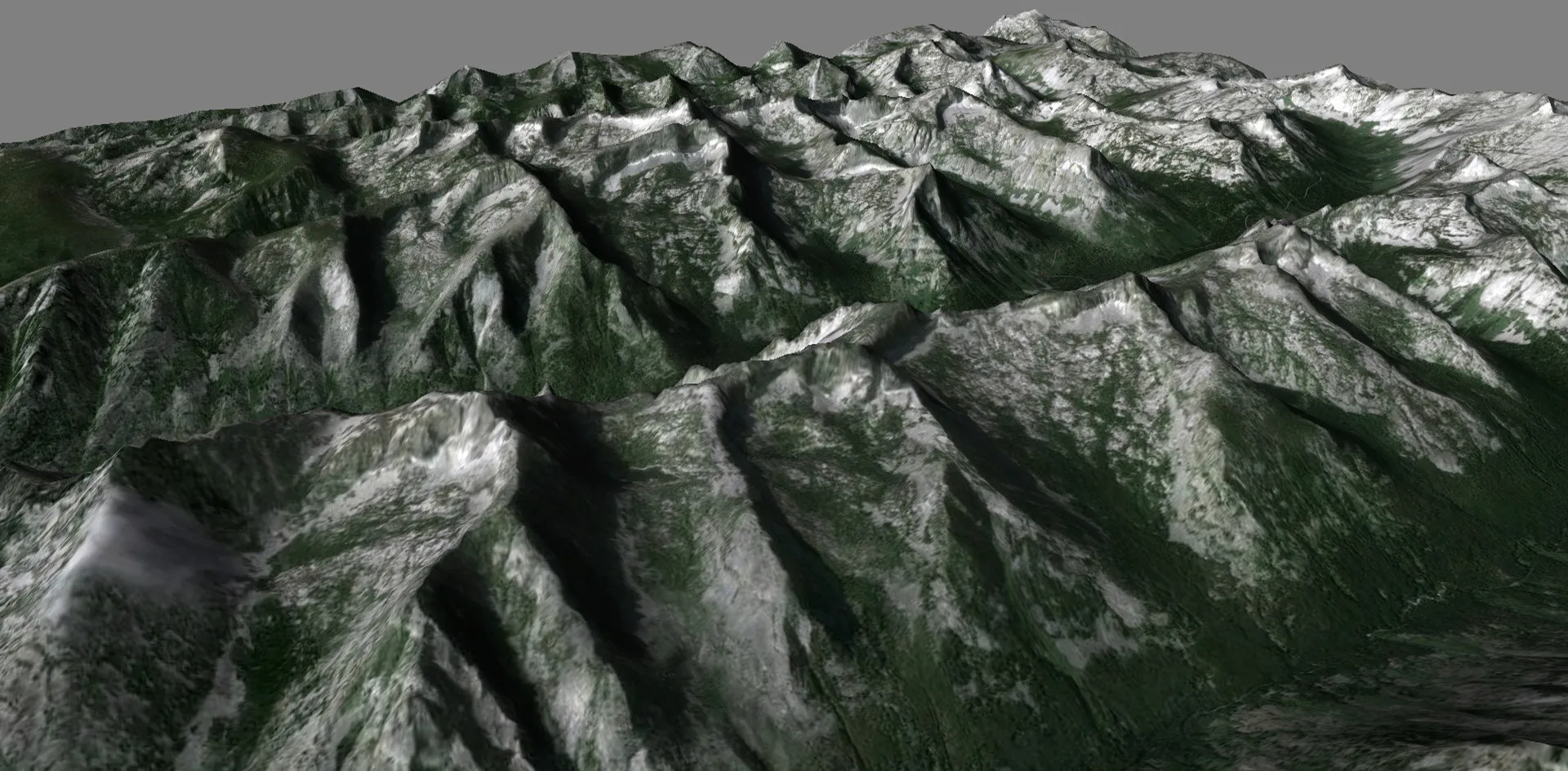
Terrain
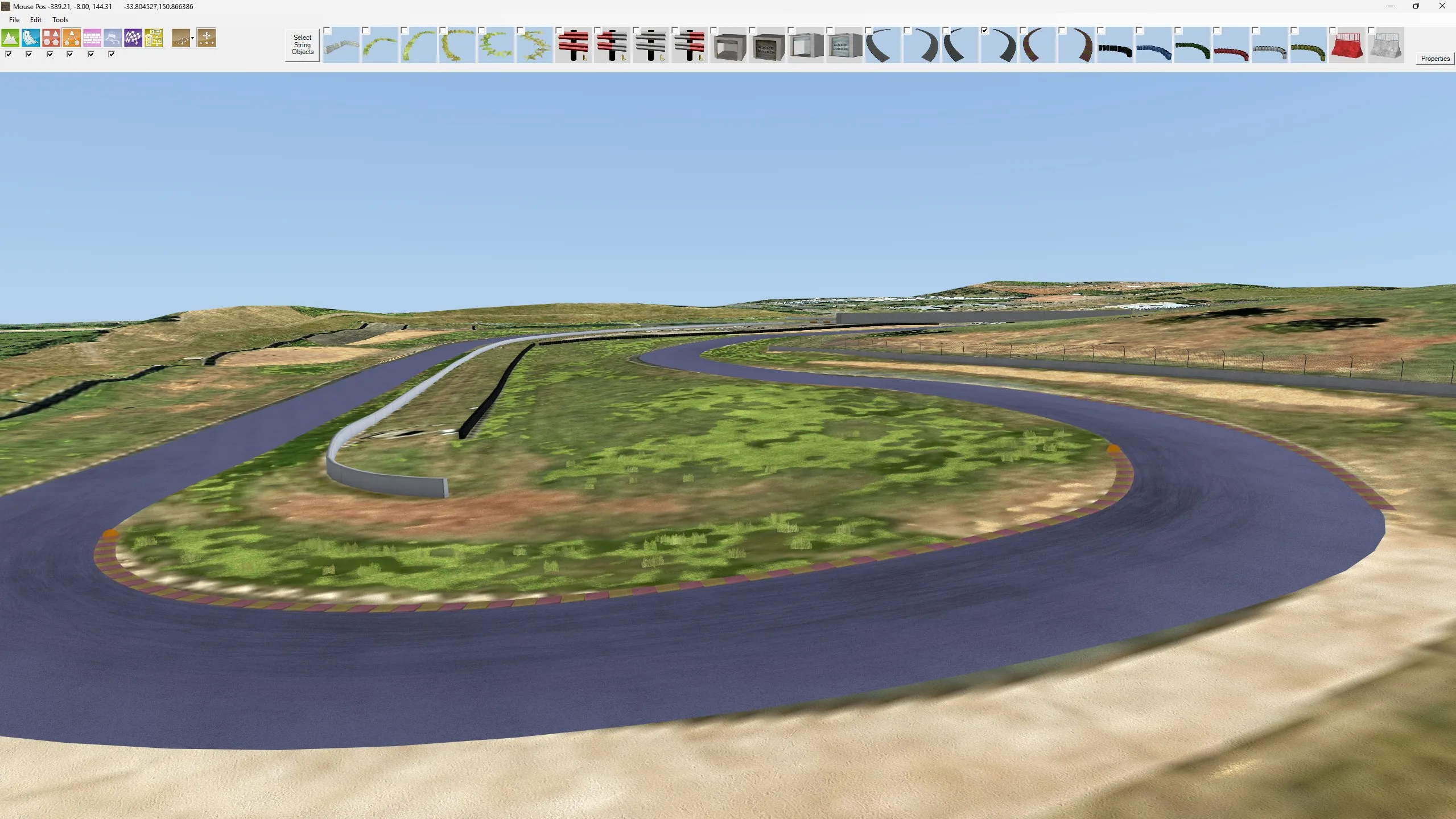
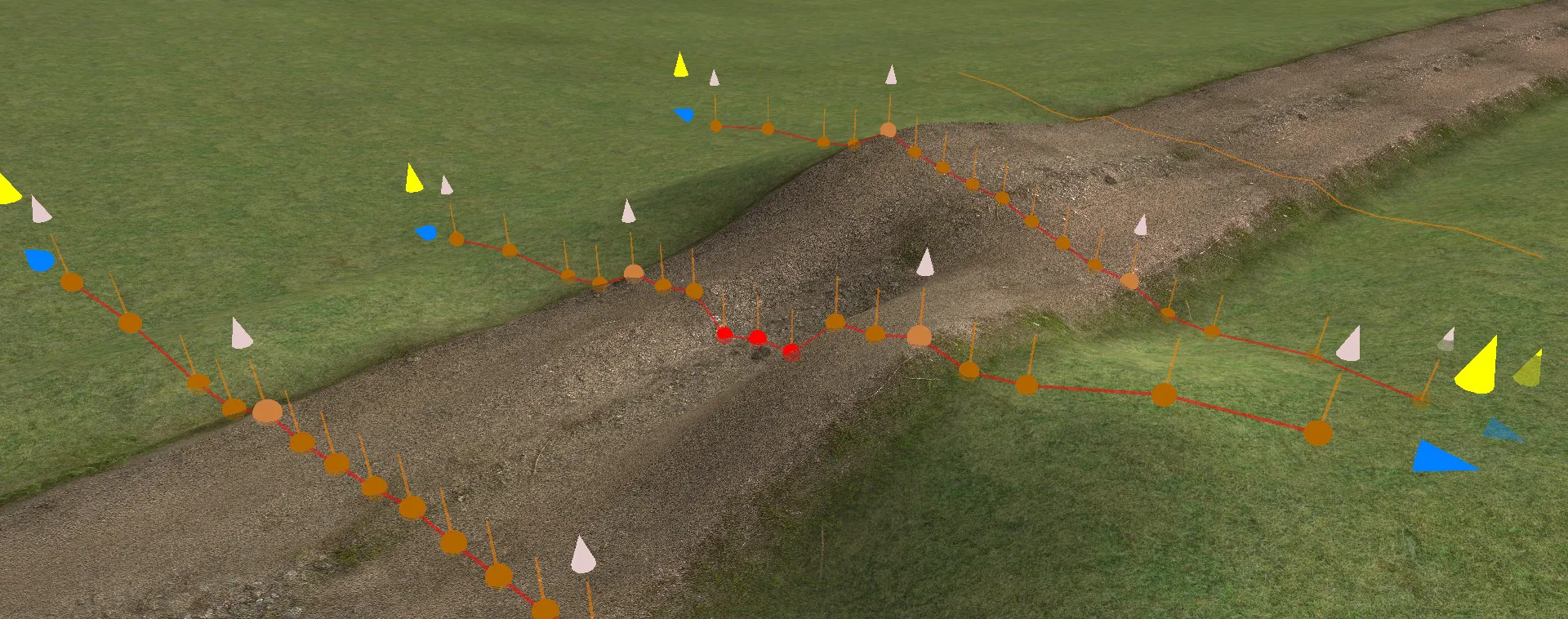
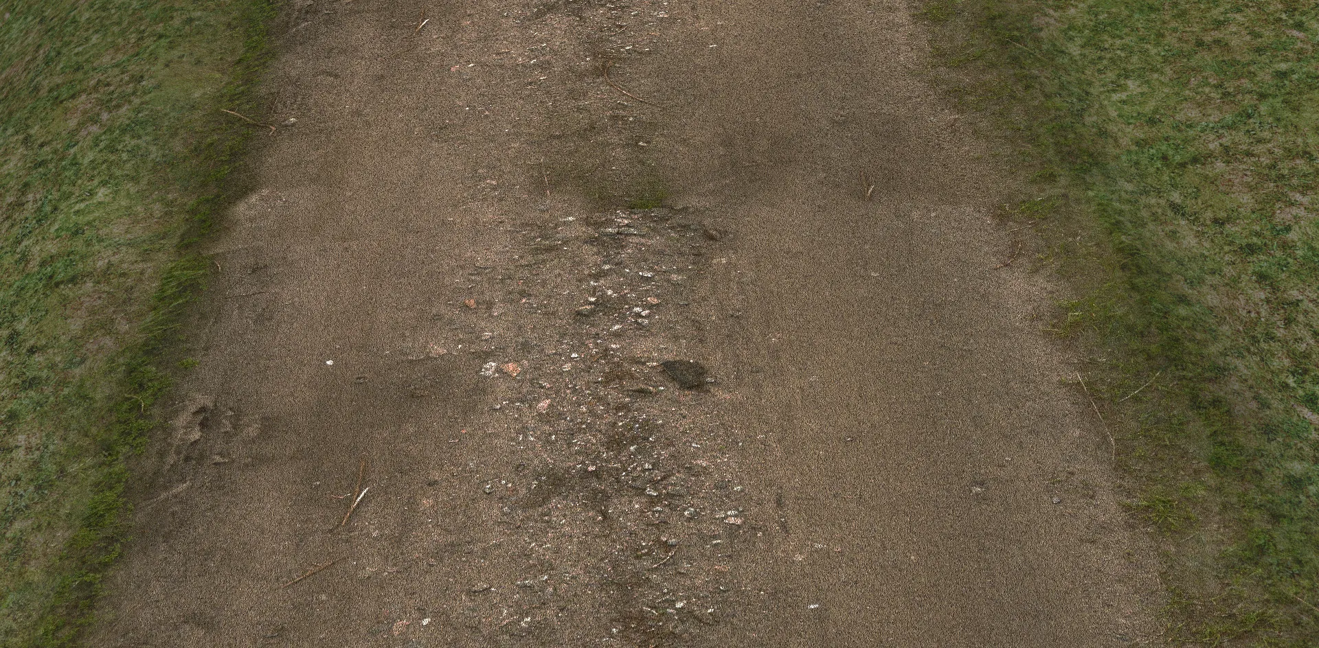
Create terrain from Google Maps, or hand-craft it with tools that raise, lower and paint the ground. Tracks are cut into the terrain seamlessly as they are laid down or moved.
Google Maps
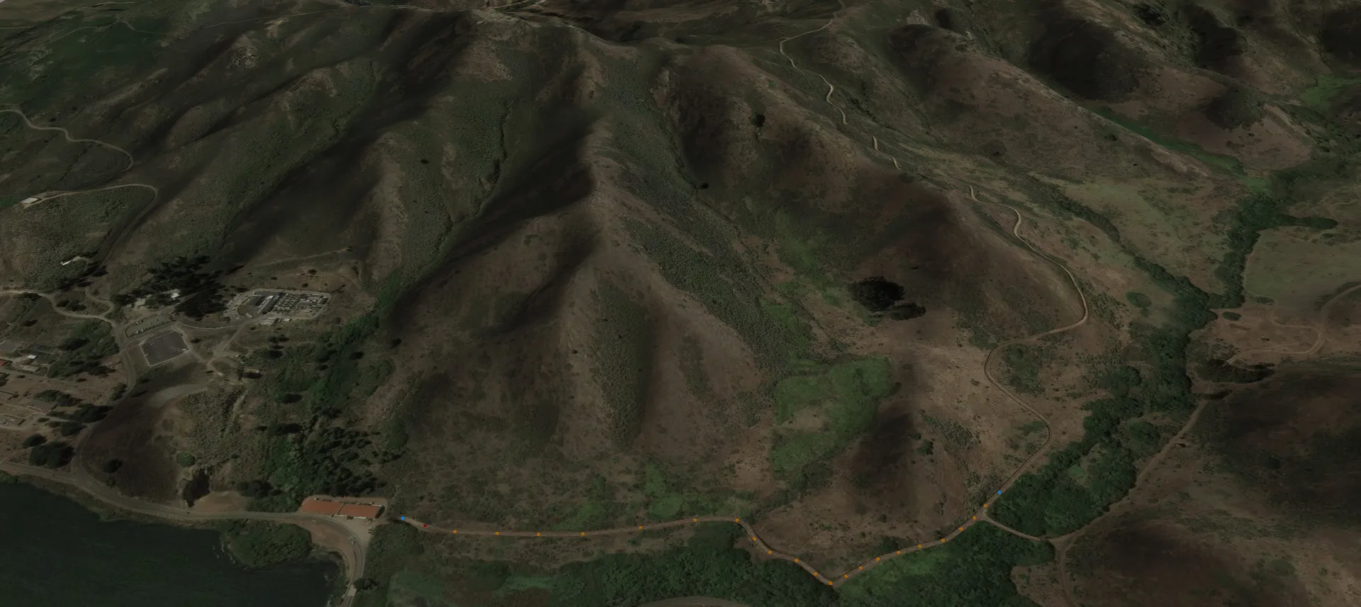
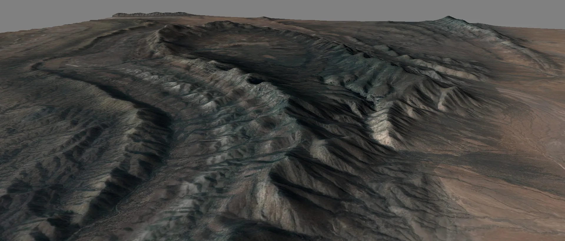
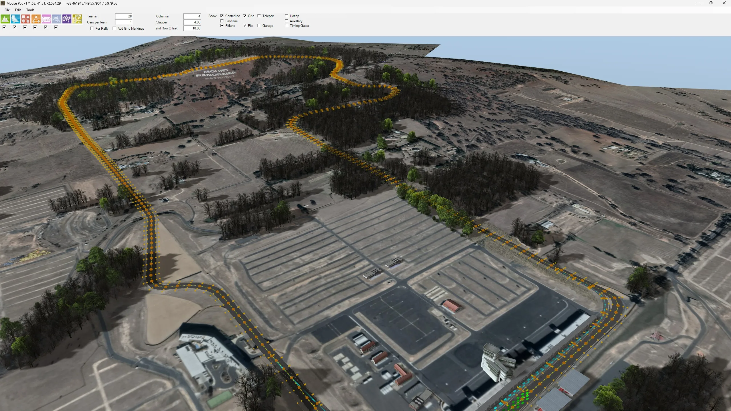
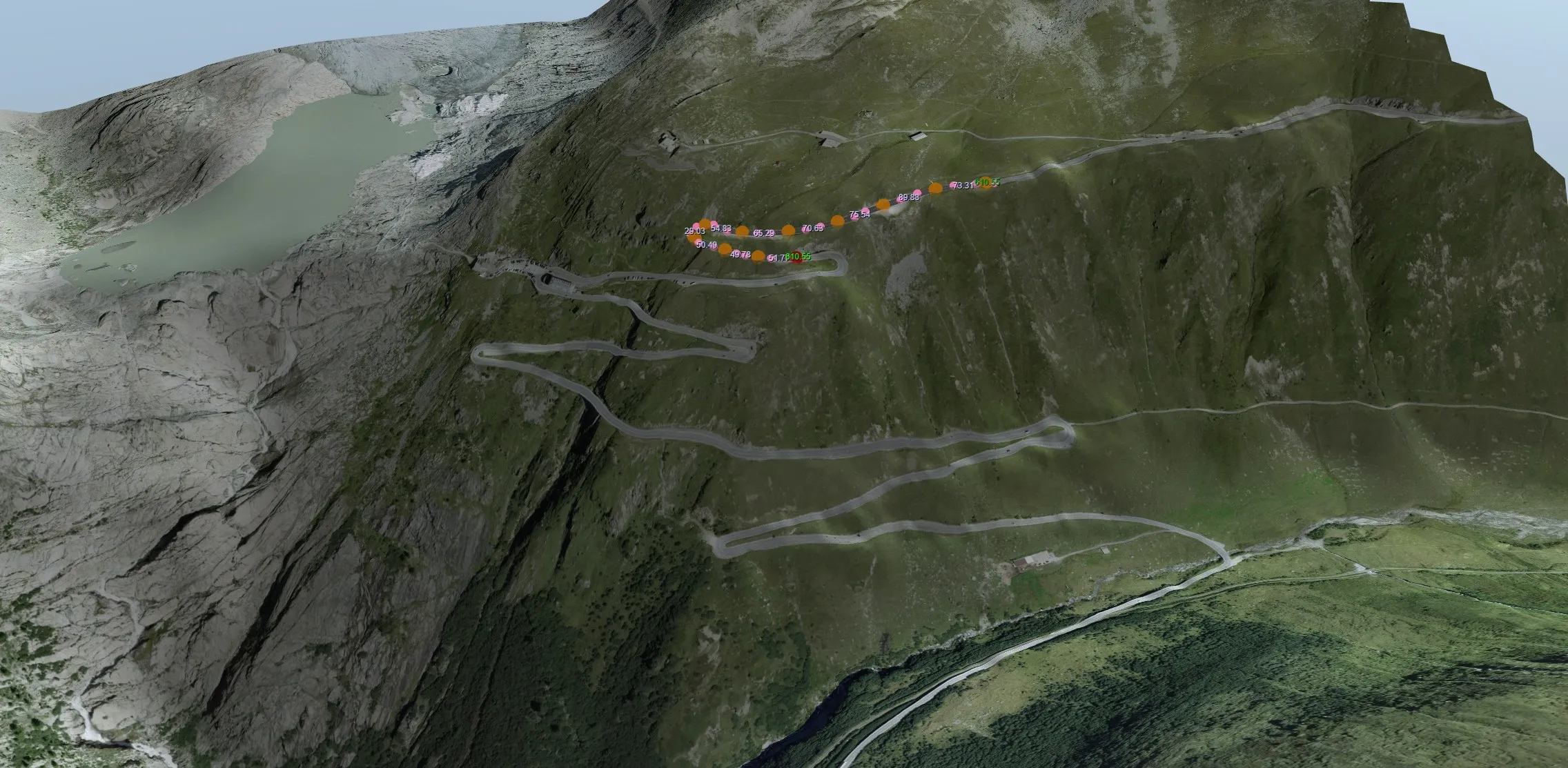
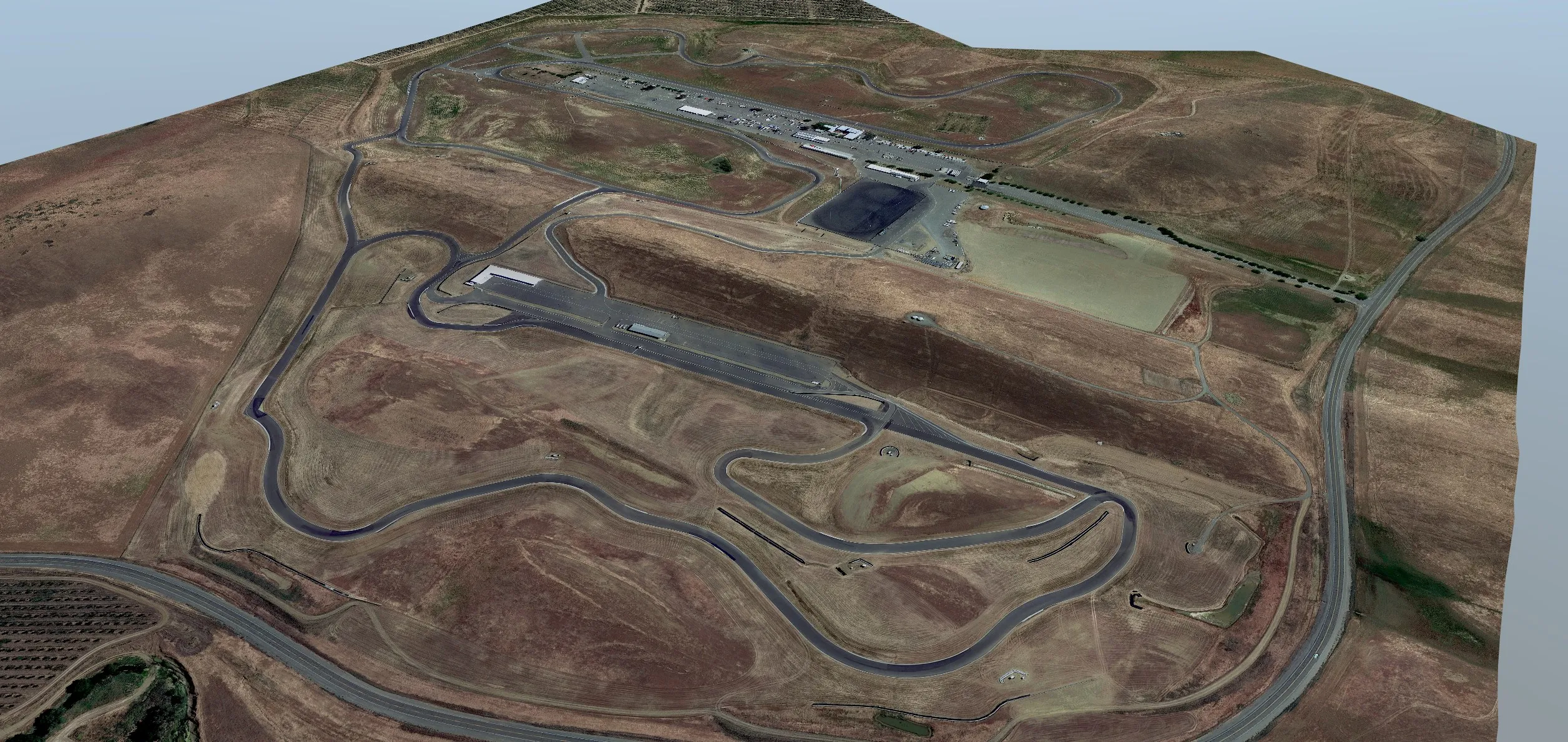
Use Google Maps to retrieve imagery and height data and produce accurate, natural, beautiful landscapes on which to lay out your vision of the perfect race track.
Subdividing or expanding the terrain starts a background task that fetches height data from Google Maps and updates the terrain model.
You'll need your own Google API key. See how to get one →
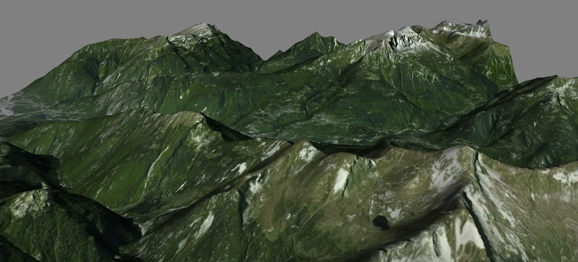
User-defined terrain
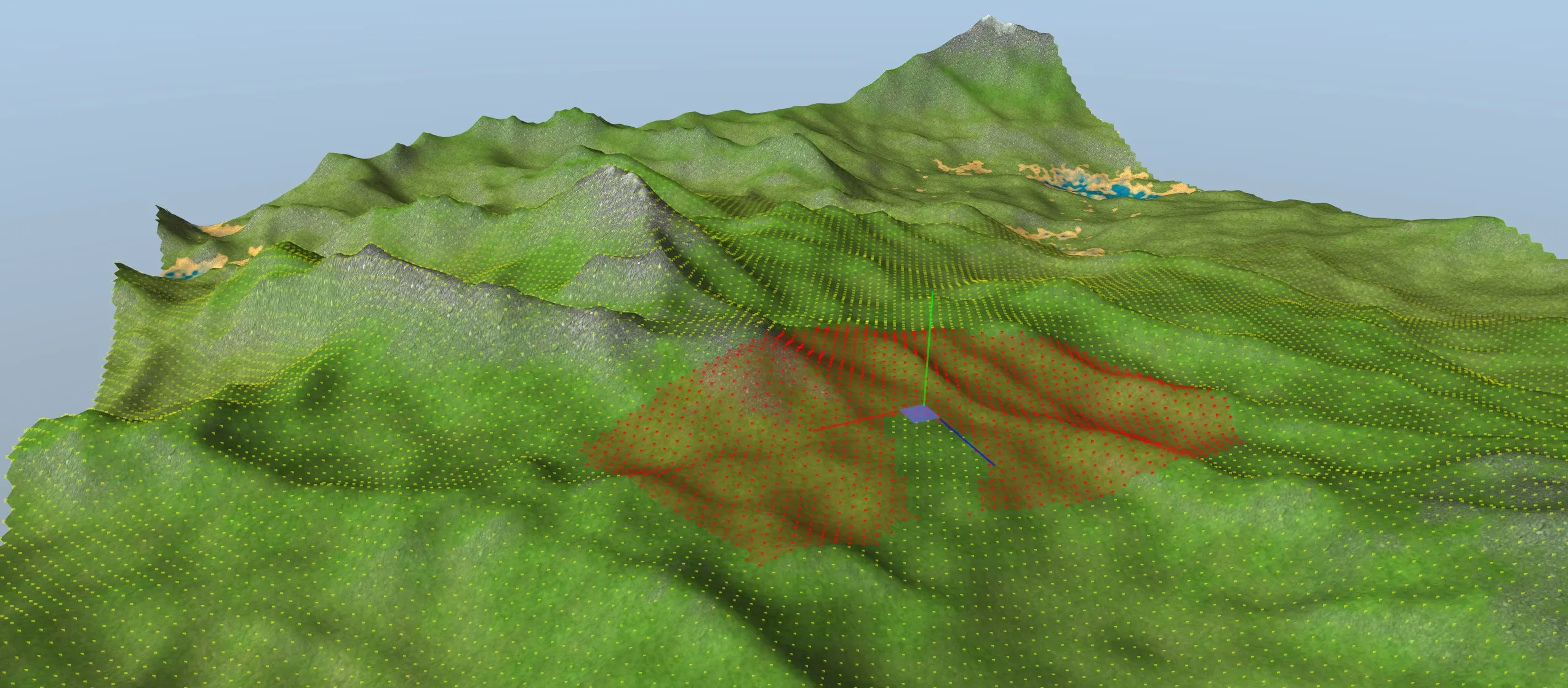
Google Maps is just one option. If you're feeling creative, or want to build on Google's version of reality, you can reshape the terrain with a range of editing tools.
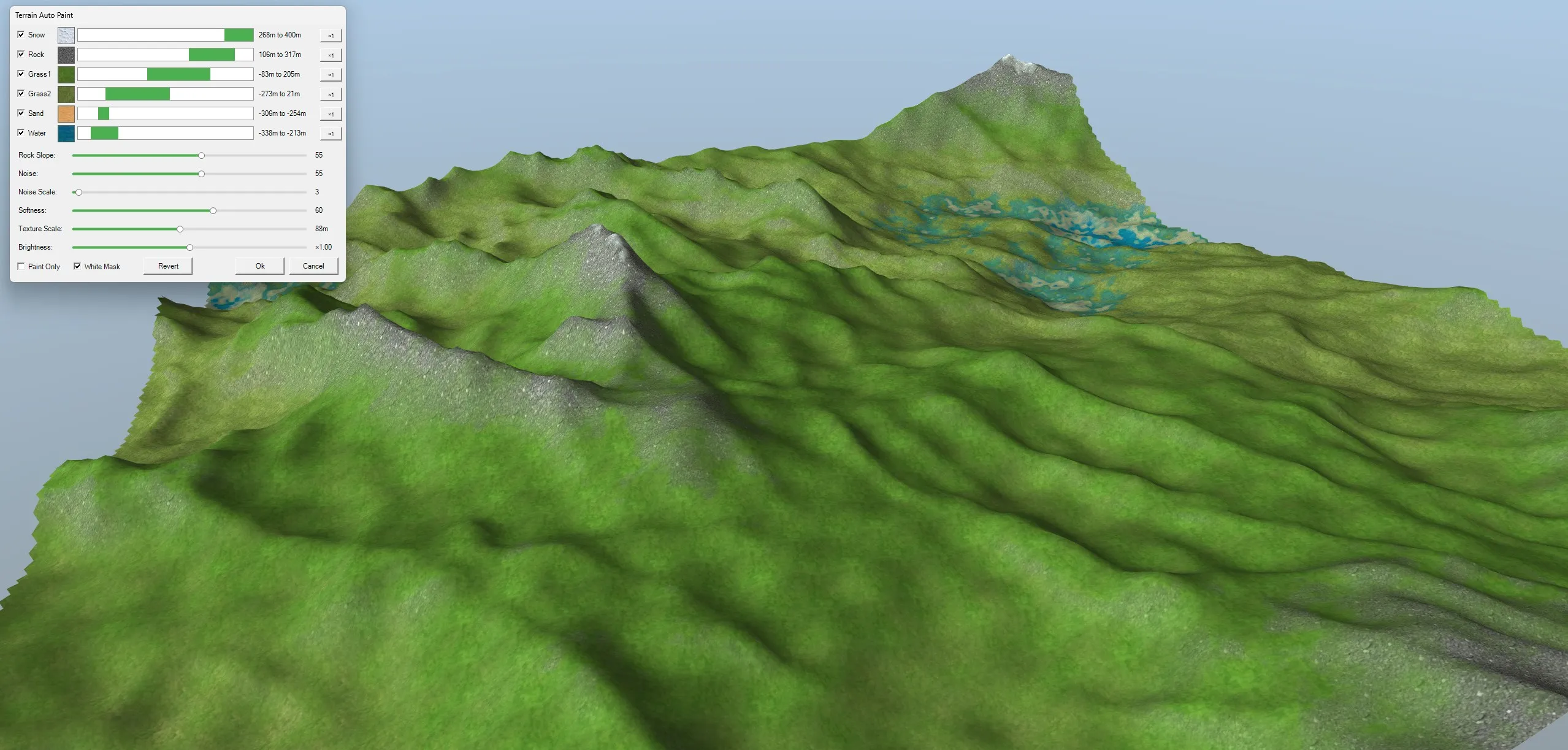
Or let RTB do the work: auto-generate hills, valleys and mountains, then auto-paint them. Snow, rock, grass, sand and water are applied by height and slope, with noise and softness settings for a natural finish.
Detail where it counts
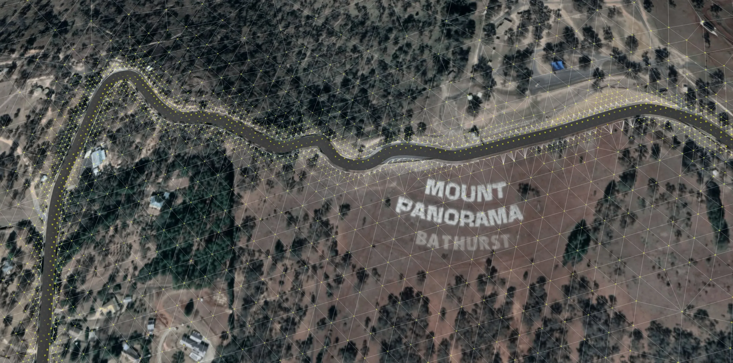
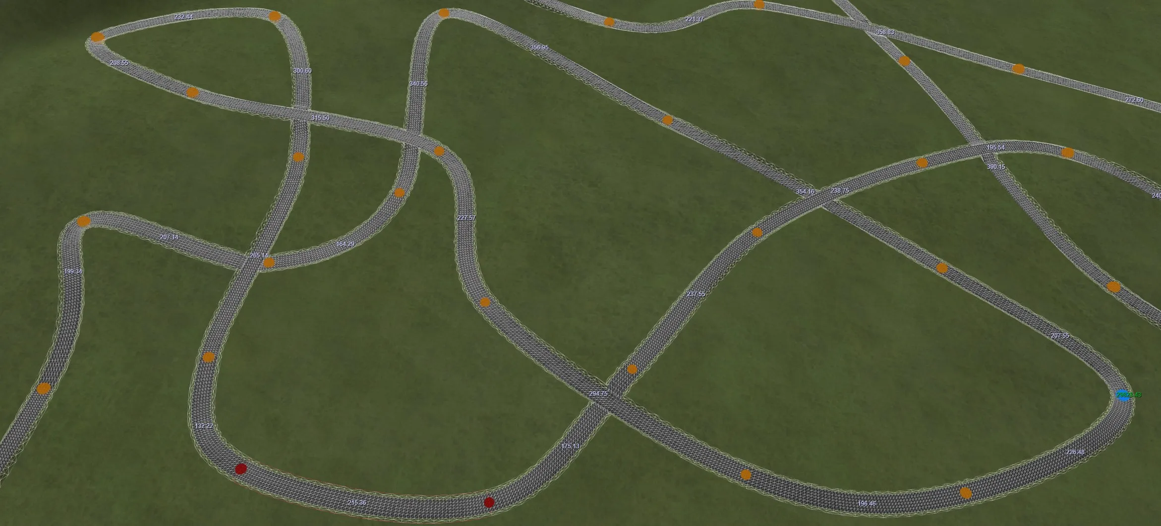
The terrain is a mesh of triangles within triangles, all the way down. That makes it easy to modify, very flexible, and able to hold a high level of detail where you need it.
In-game performance improves with fine detail near the track and less detail further away. You can go further by generating low level-of-detail copies of the terrain to render at a distance from the camera.

Available now on Steam
Start building your perfect race track today. Updates are freely available.